Latitude And Longitude
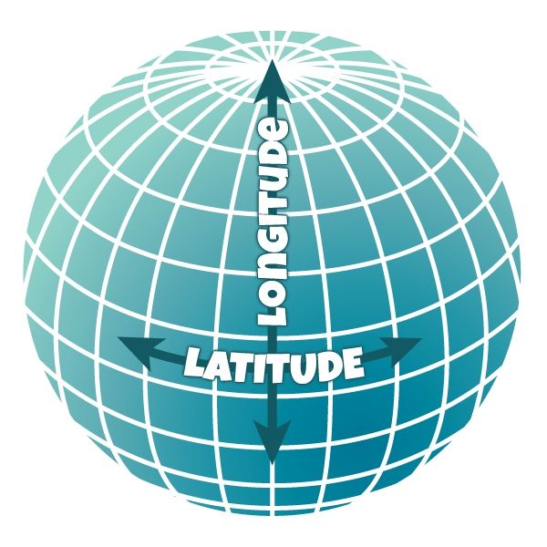
Latitude and Longitude (AKA "Lat-Lon") is a geometric coordinate system used to describe Earth's surface. Latitude is comprised of horizontal lines (easily remembered as "lat flat") and longitude is made up of vertical lines. Each unit in the system is referred to as a degree (°) and divided into minutes (') and seconds ("). At each intersection of lat-lon we get a pair of North/South and East/West coordinates to describe a location on Earth. All lines of latitude are parallel, while longitude is not due to the spherical nature of Earth. The line of latitude encircling the middle of Earth is called the Equator. The line of longitude at zero degrees is called the Prime Meridian. An example of coordinates are: 39.0917° N, 120.0417° W–approximately the middle of Lake Tahoe. Many modern technologies such as GPS (global positioning satellite) and Geo Location services are all based on the latitude and longitude system. Historically the system was designed for nautical navigation.

Comments